OSH 2008 - Getting RV-10 Folks Campsites
Today was a day I had anticipated for a long time....the day I got to stake out 11 sites at OSH for some of our RV-10 Headquarters group. There will be 25 sites or more total this year!! For 2008, I had the goal of getting as many contiguous sites as possible, so I went today, Friday just over a week before the show, to try to get some good sites all in one grouping. There is another slightly larger group of sites that will be staked out on the 22nd which shouldn't be too awfully far away, and hopefully won't have too many scatterings. These sites, plus one shared site for gathering, form RV-10 HQ...a place for the RV-10 builders to go where they can be assured of meeting other RV-10 builders!With that goal, I woke in anticipation of finding fly-able weather to get to OSH. My airplane lives almost exactly 1 hour by RV-10 from OSH, so I took the morning off to go get the sites, and Andrea left with the van and pop-up to drive there just before I left the house to go to the airport. Her drive is more like 3.5 hours, and is WAY more fun than suffering through an AIRPLANE ride for an hour. (At least that's what I have to try to convince her of!)
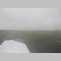
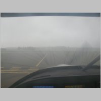
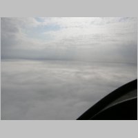
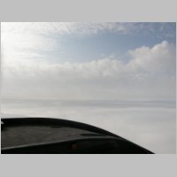
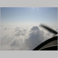
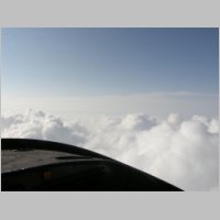
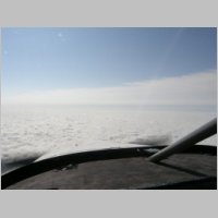
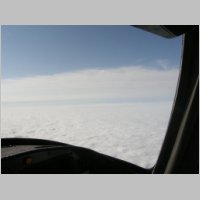
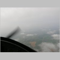
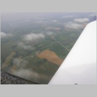
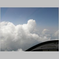
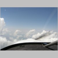
Below are the photos from the trip. It was apparent immediately when I reviewed the TAF's that this morning would be an IFR flight, with plenty of perfect IFR weather. The lowest freezing level was 13,000', due to the warm air. There was extremely high humidity, causing lots of low clouds and fog. There was NO convection, which is always a bonus, but just nice smooth layers of juicy clouds.....the stuff I live for! With a plan filed I got clearance using the 800 number, thanks to the cellphone jack on my PMA8000 audio panel....it was a breeze. My Void time was only 5 minutes long, so when it was time to go, it was time to GO! The weather was 300' overcast in mist and fog. DEFINITELY a day when a VFR pilot would have to wait it out...making me thrilled for that instrument rating. Let me tell you, days like this are what the rating is MADE for. Climbing out, I blew out the top of the layer at about 4000', and then into some additional layered clouds. I had filed for 7,000' due to the short flight, but after seeing that I could be totally on top at 9,000' I got cleared for 9. Once through some of the higher buildups, and about mid-state, the undercast below dropped lower....back down to a flat 4000' or so.
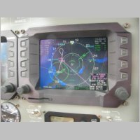
Flying into the OSH area, I was vectored for the ILS-36 approach at OSH, which was the approach of the hour I guess. Other than a slight trip South to go North, it was very easy. I was in and out of clouds for most of the outbound part of the approach, but after I got established on the approach inbound, it cleared up pretty well and the airport came into sight about 5 miles out. Touching down at OSH is always a pleasure, but again this year I was able to land and taxi direct to Aeroshell square.
 |
 |
 |
 |
 |
 |
 |
 |
 |
 |
 |
 |
 |
 |
 |
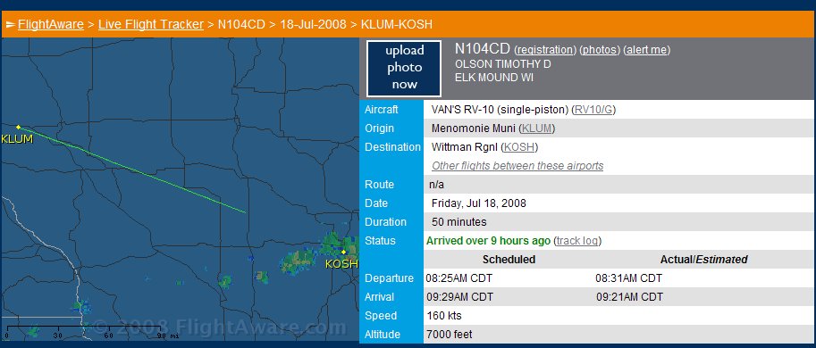
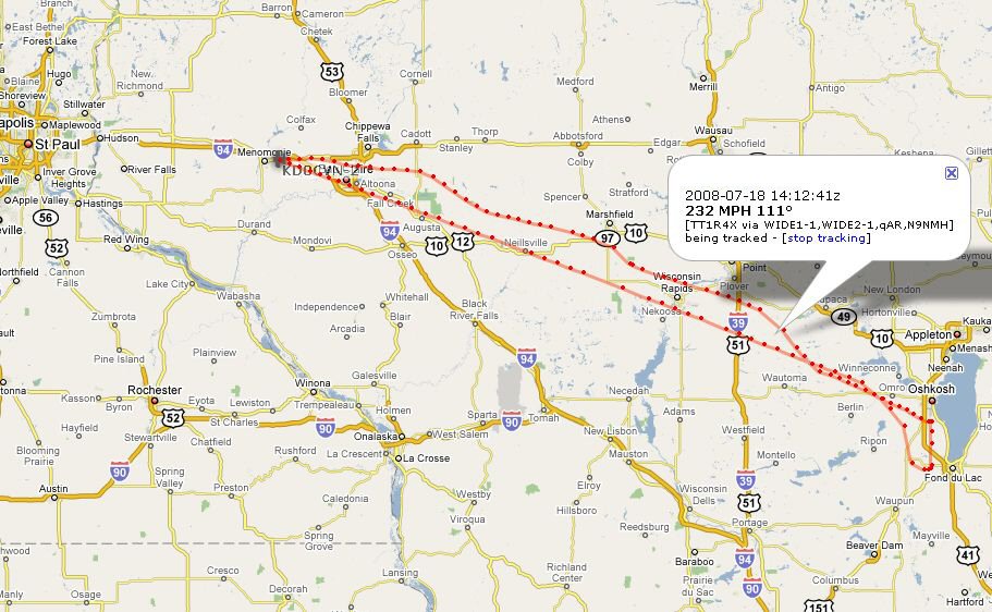
As you can see by the flight tracking from Flightaware.com, it's pretty neat to see the track. Unfortunately, FlightAware only tracks IFR flights (or sometimes in rare cases VFR flight following flights) so it's not perfect at showing you your flight path. I'm not exactly sure why this one cut off 3/4 of the way to OSH, but it seems to do that on some flights. It's very touchy with re-routes too. As you can see though, it was exactly 1 hour of actual time enroute.
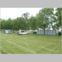
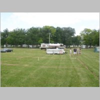
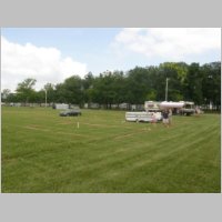
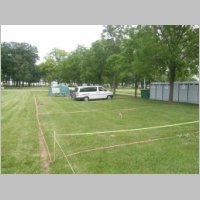
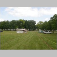
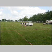
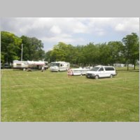
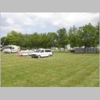
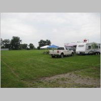
Staking the Sites!
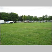
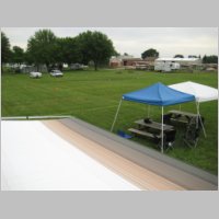
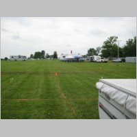
As you may recognize, SOME of the sites we got this year are the same as the sites we got last year. Dave Leikam and his wife Angie showed up to help out, and Michael Sausen came by for a visit as well. Great to have someone there to see you. I had Colleen with me, so she helped out as well. We identified some good sites, figured out a good plan as to how to best place people for good convenience and comfort, and then staked them all out with a nice pink ribbon...something probably less common. Each of our sites has a white flag with RV-10 and the builders name on it, along with a stake nameplate for their site tag. In some of the potos you can see 2 motorhomes. Those two motorhomes are on the end 2 sites of my row....and if you drive down Lindbergh and turn on 57th street, you'll bisect our campsites. Very close to the field and gates and not far from the facilities.
Full Printable Scholler Map
RV-10 HQ Group 1 Location
CLICK HERE for location on map
 |
 |
 |
 |
 |
 |
 |
 |
Here is our Group 1 Site Layout in a clickable map

RV-10 HQ Group 2 Location
CLICK HERE for location on map
|
|
 |
 |
Here is a Scholler Map (click for larger)
showing the location of RV-10 HQ
(Group 2 will be added soon!)

Coming Home
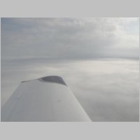
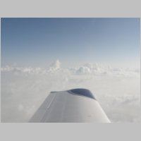
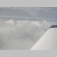
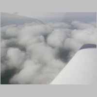
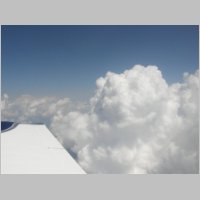
The trip home was originally planned to be an IFR return, but as we blew past our timeline to get out of there due to EAA computer glitches for registration, we decided rather than re-file we'd just blast off VFR and take the opportunity to go thru some of the now broken to scattered layer and get on top ourselves. We got to about 9,000' now in the afternoon heat before we got really comfortably on top, but still had some buildups that were about 12,000', so we stuck to 11,500 or less and just weaved around a little on the way home. Andrea did the flying, or maybe I should call it cloud dancing, today. She took us on a comfortable trip home, with great sights to see.
 |
 |
 |
The Track using APRS!!
Now here is something I haven't had much time to talk about lately, but has been on my project list. I've been busy installing an APRS in my plane with the advice of Pete Howell "Godfather of RV-APRS" :) and Sam Buchanan, the guys who seem to be the RV-community gurus of this stuff. You need a Ham licence from the FCC to operate one, which is VERY cheap and VERY simple to get, but once you have that, the APRS tracking only requires a NMEA-0183 style serial GPS, a transmitter, and an antenna. I was able to get the whole thing running for under $150, and there is NO ANNUAL FEE. APRS is ham-speak for position reporting that is plotted on a map. Your GPS sends info to a repeater which gets relayed to a gateway that puts the info on the net. The benefits are great coverage, configurable track timings, and low low cost.
HERE IS A LINK to a page I found by Dave Morris. He compares Flightaware.com tracking via ATC, with SPOT messenger, a Satellite-based tracking system, and APRS. Some of his results for his APRS might actually sound that while it's cool, it's not always reliable. That's true enough, but there are a lot of variables that the operator can put into the situation....such as, are you trying to use hidden antennas, non-permanent antennas, or a quality whip antenna (or Pete Howell's wingtip antenna if you don't have metallic paint....his sounds real good). If you set it up right, have an good antenna configuration, and don't operate at super low altitudes all the time, you should have great luck.
Here is my track from my trip to KOSH and back. On the way you can see the nice straight line of the IFR flight, and on the way home you can see the wandering VFR on top flight. Each point is selectable and you can see speed and heading. My GPS does not put out altitude, or you would see that as well.
Why not the SPOT messenger? Well, I actually HAD been planning to go to OSH and get one of the FREE spot messenger systems given away at the show (WITH the requirement of the 1 year subscription which runs about $150). The catch is, then you're spending $150/yr for the tracking, and, you don't have nearly the resolution of tracking as you do with APRS. I think those transmit every 10 minutes in automatic mode, and that's only if it gets a good signal for the transmission. The SPOT has no provisions for external antennas, so your only option in the plane is to clip it on your seatbelt or put it on the glareshield. That's not what I wanted....I don't want cockpit clutter, and I want something with a more reliable signal than a cockpit mounted device. Not to mention 10 minute updates are ok, but not what I'd prefer either.
One of the things leading up to this installation was a flight recently where my wife was watching my progress on flightaware.com. I was crossing Lake Michigan at an angle, about 60 or 70nm over water, and my IFR flight plan had been amended to change destinations. FlightAware went nuts with this and just showed the flight as "Ended" or some even worse sounding term used to describe the fact that they couldn't continue tracking you....but the tracking ended right while I was over the lake.
Yeah, today you can log on to flightaware and see that track in it's entirety, but it takes a long time (hours or days sometimes) before you'll see that track if you reroute. And for people on the ground watching you travel, it is nice at least seeing a blip every now and then to know you're doing OK.
So APRS is my new tracking concept of choice.
Site Home | N104CD Home