 |
 |
 |
|
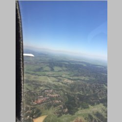
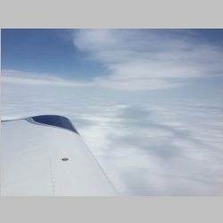
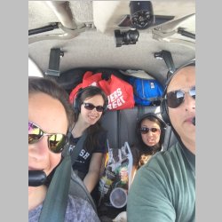
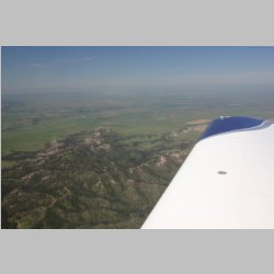
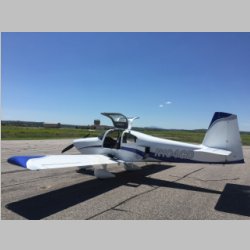
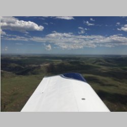
Right out of the gate the trip
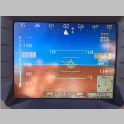
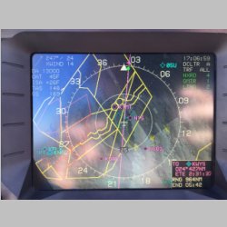
got fun, as we tried our FlyQ and WingX ipad apps with the
NavWorX ADS-B, and climbed up over top of MSP's class
Bravo airspace and let them route airplanes around
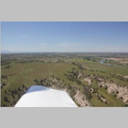
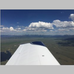
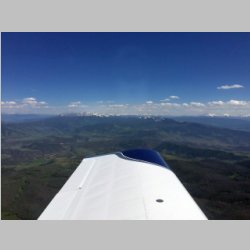
us. We saw quite a few, but only took a couple of
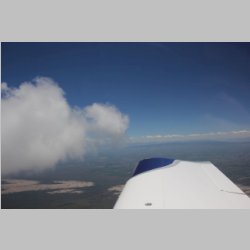
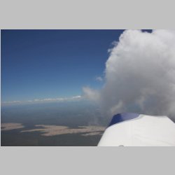
hte above pictures. Enroute we were VFR-on-Top for a
while, but I didn't file this time, because our fuel range
would definitely take us to areas that the satellite
showed clear of clouds. It's nice to get a flight
where you have clouds when the below terrain isn't worth
looking at. It wasn't long though and we were at
KGUR, Guernsey, WY, for a fuel and food stop. We ate
at a pretty cool little Western themed cafe in town and
had some great food, using their courtesy car. Then
it was time to pile in for the second and more interesting
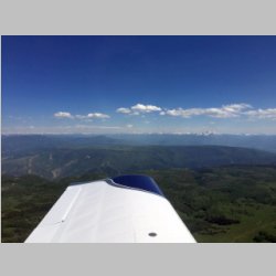
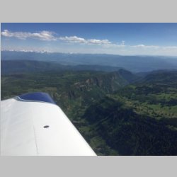
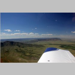
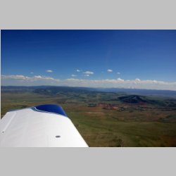
leg of the trip. Our original goal was to put in
about 9 hours and fly to Yosemite NP (Mammoth airport).
|
 |
 |
 |
 |
 |
 |
 |
 |
 |
 |
 |
 |
 |
 |
 |
 |
 |
 |
 |
 |
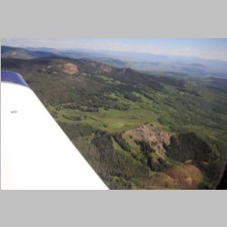
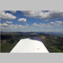
When planning the flight we
were very lucky. The weather was forecast to have
very few isobars for the whole 5 days, anywhere in the
part of the country that we'd be traveling, so winds would
be at least not on the strong side, and no rain was
forecast. We decided to explore an area that we
hadn't flown on any previous trips, which is the back
(West) side of the rockies. We usually head all the
way to SLC and then fly places, but this trip we wanted to
fly down the mountains and at least stay next to them, but
preferably fly down a valley and get to see them even
closer. It ended up working about right to fly down
to KGJT (Grand Junction, CO) and then turn West towards
KBCE (Bryce Canyon) and then on to KMMH (Mammoth /
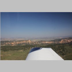
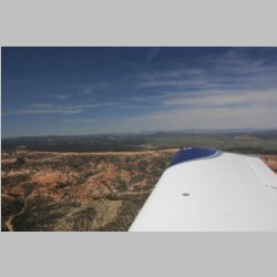
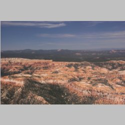
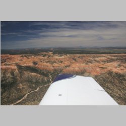
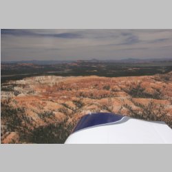
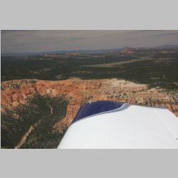
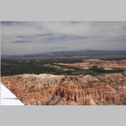
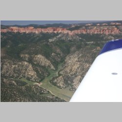
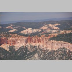
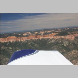
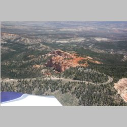
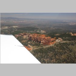
Yosemite). Our intent was to overfly Bryce on the
way and get some photos.
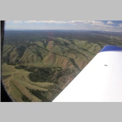
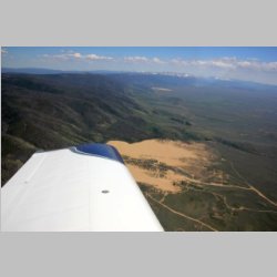
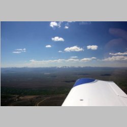
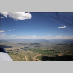
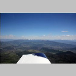
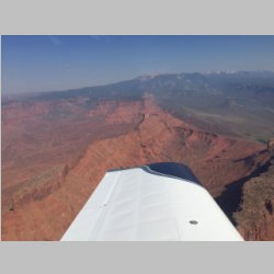
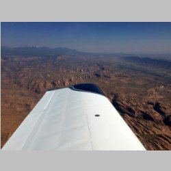
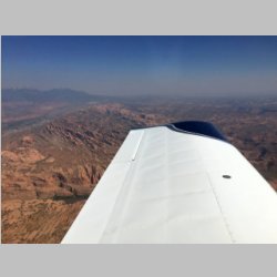
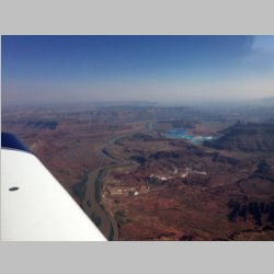
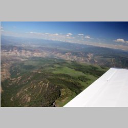
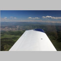
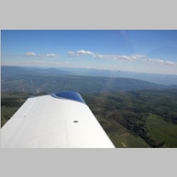
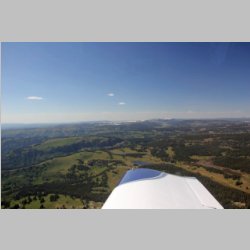
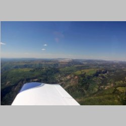
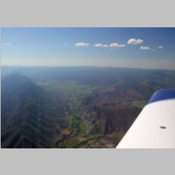
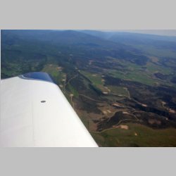
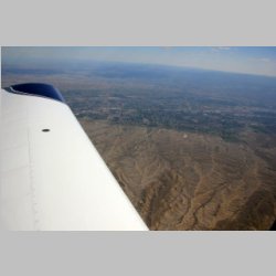
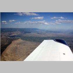
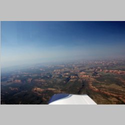
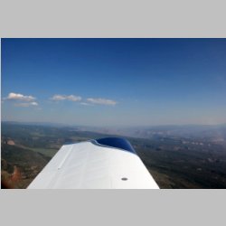
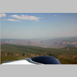
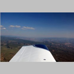
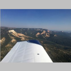
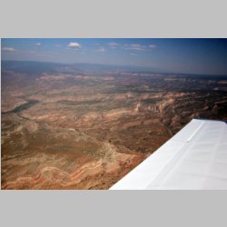
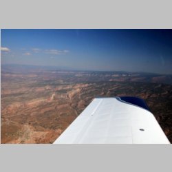
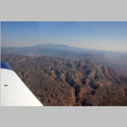
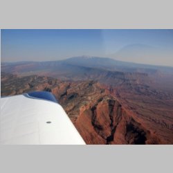
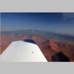
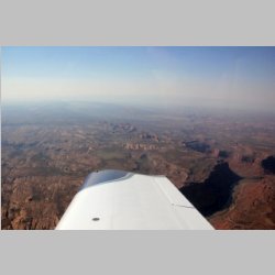
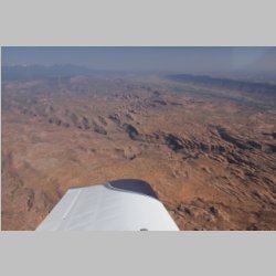
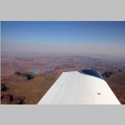
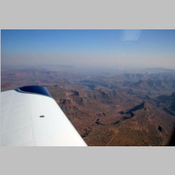
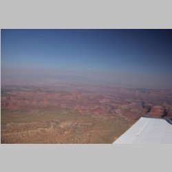
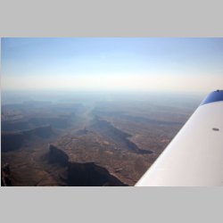
As we flew along it was remarkable the variation in
terrain. The rockies were green or grey with some
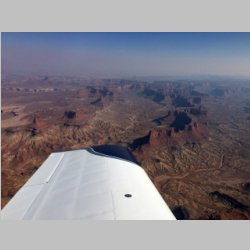
rolling hills and some sharp peaks. Then as we
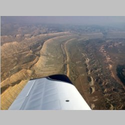
turned West out of Grand Junction, we hit terrain that
although I've flown over similar, was an area completely
unfamiliar to me. We kept this flight higher in
altitude, and had 2-3,000' added on top of that for a hot
day with high density altitudes as well, so we were well
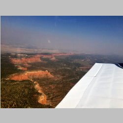
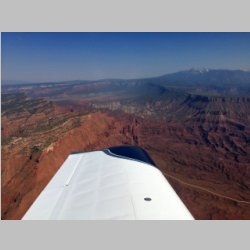
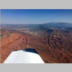
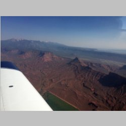
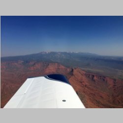
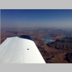
LOP traveling over this area. Nearing Moab, UT, it
started to look a lot like a cross between the Grand Cayon
and Monument Valley, and was very interesting.
|
 |
 |
 |
 |
 |
 |
 |
 |
 |
 |
 |
 |
 |
 |
 |
 |
 |
 |
 |
 |
 |
 |
 |
 |
 |
 |
 |
 |
 |
 |
 |
 |
 |
 |
 |
 |
There was getting to be a bit
of foggy haze in the skies from California fires, and the
day was wearing on, and we decided that rather than try to
make Mammoth that we'd see if we could stay at Bryce, and
with the help of Lenny, who we texted while traveling, he
assured us that at KBCE we could land and get a free
shuttle to the campground. That was enough to talk
us into it.
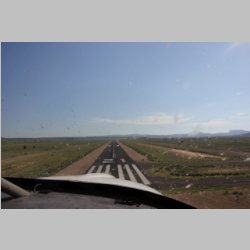
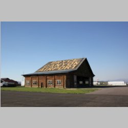
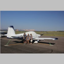
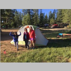
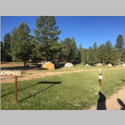
What we ended up with was quite a surprise. The
airport is very nice, and the local hotel/campground has a
free pickup service. "Ruby's" is the big area that
is almost like it's own town, as you get near Bryce
Canyon, and they have hotels, and a campground and
supplies and restaurant, and there is a National Park
shuttle that picks up right there too. So we were in
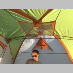
great position to have a super stay-over. The
campground had showers, so although this was our first
night, we got to shower in the a.m. and start out fresh
again. The shuttles into the park ran early enough
in the a.m. that we got breakfast, and headed in for some
hiking, and got back in time for a noon departure so that
we'd get into Yosemite at a reasonable time too.
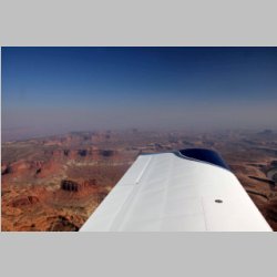
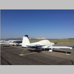
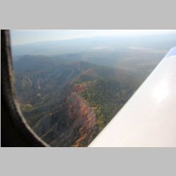
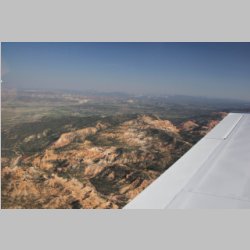
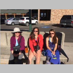
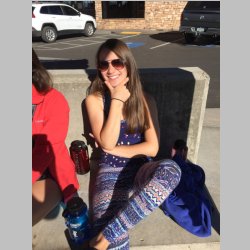
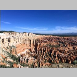
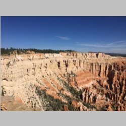
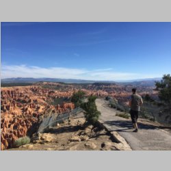
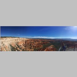
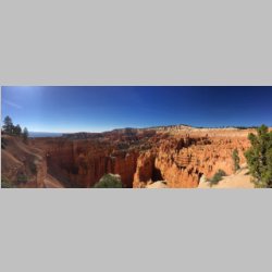
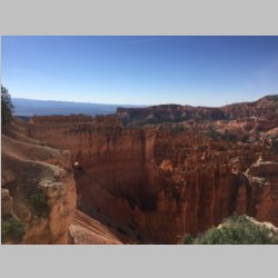
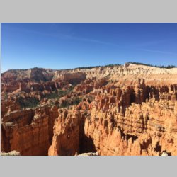
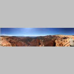
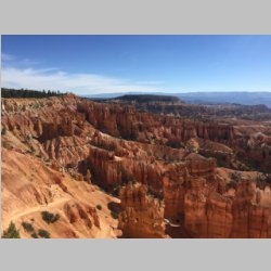
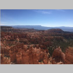
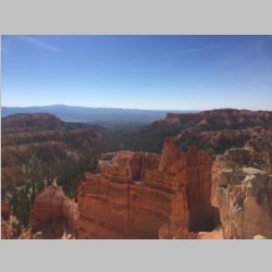
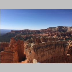
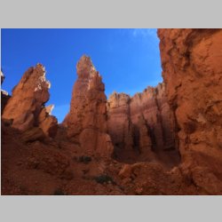
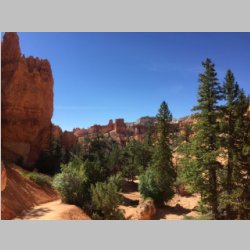
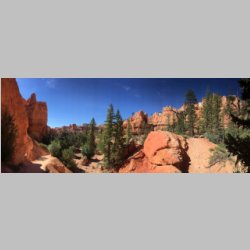
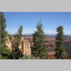
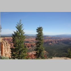
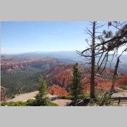
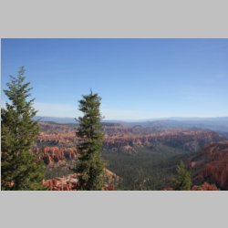
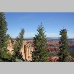
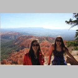
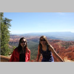
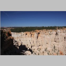
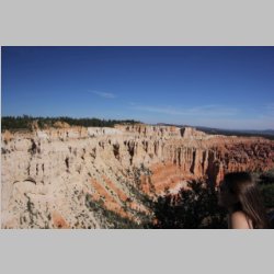
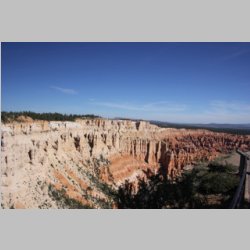
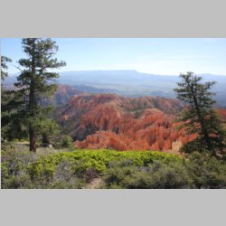
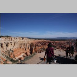
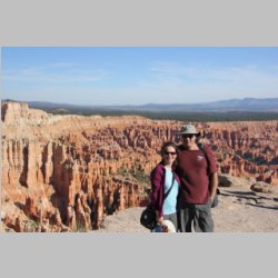
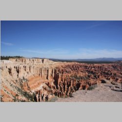
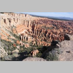
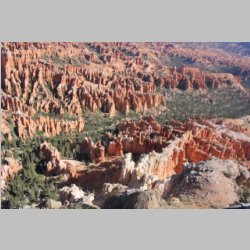
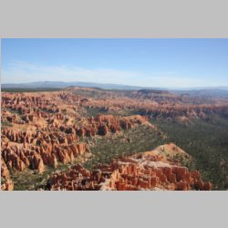
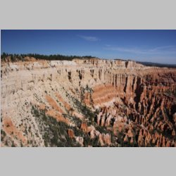
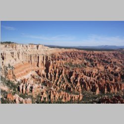
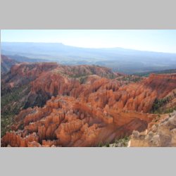
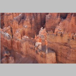
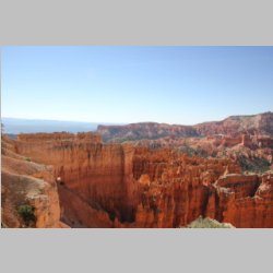
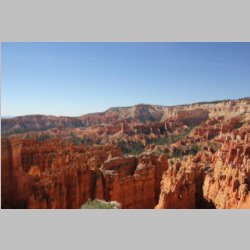
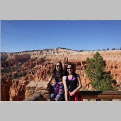
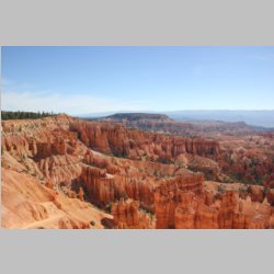
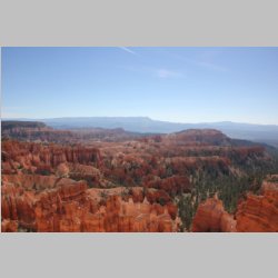
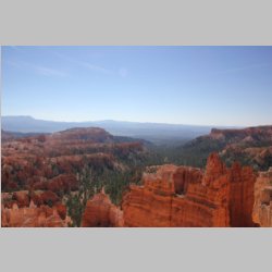
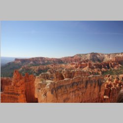
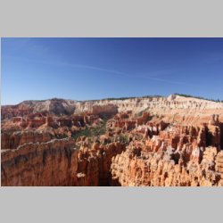
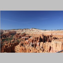
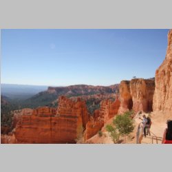
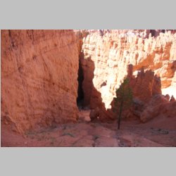
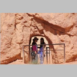
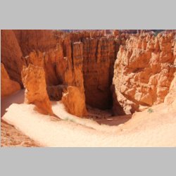
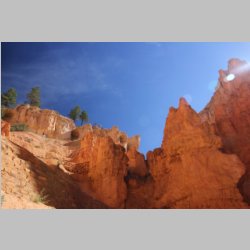
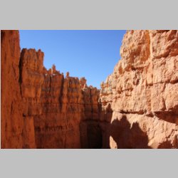
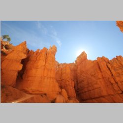
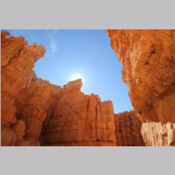
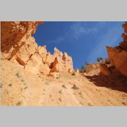
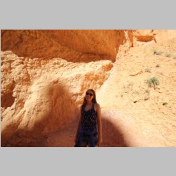
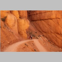
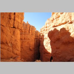
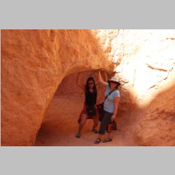
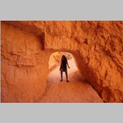
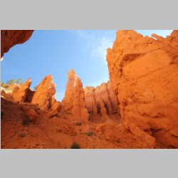
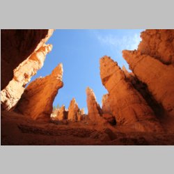
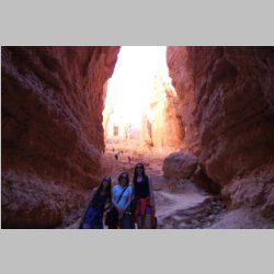
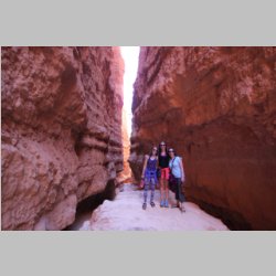
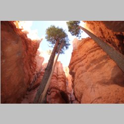
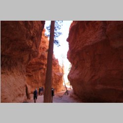
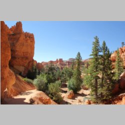
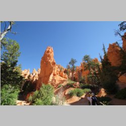
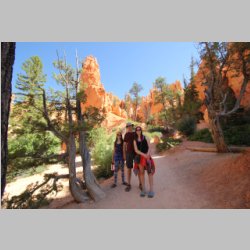
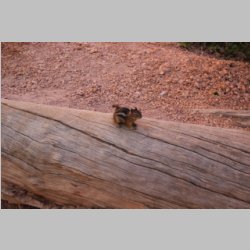
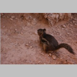
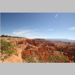
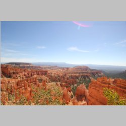
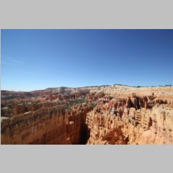
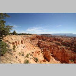
Bryce isn't a huge park, so it's a great place for a
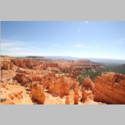
shorter stopover. Words wouldn't do it justice to
show the park though, so check out some of the pictures
below.
|
 |
 |
 |
 |
 |
 |
 |
 |
 |
 |
 |
 |
 |
 |
 |
 |
 |
 |
 |
 |
 |
 |
 |
 |
 |
 |
 |
 |
 |
 |
 |
 |
 |
 |
 |
 |
 |
 |
 |
 |
 |
 |
 |
 |
 |
 |
 |
 |
 |
 |
 |
 |
 |
 |
 |
 |
 |
 |
 |
 |
 |
 |
 |
 |
 |
 |
 |
 |
 |
 |
 |
 |
 |
 |
 |
 |
 |
 |
 |
 |
 |
 |
 |
 |
 |
 |
 |
 |
 |
 |
 |
 |
 |
 |
 |
 |
 |
 |
 |
 |
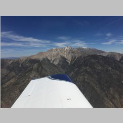
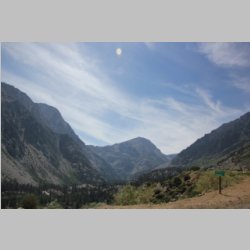
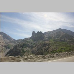
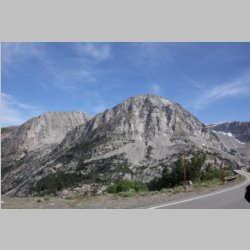
Heading out of Bryce at noon,
the density altitude was already getting high, and ground
elevation is about 7,500' so we slowly climbed over all
the higher peaks to the West and made our way to
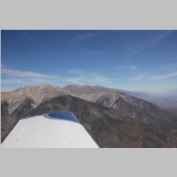
Yosemite. In between the 2 areas, we got flight
following for a short time because there is a lot of
Restricted and MOA space there, and I wanted to at least
see if it was hot. Turns out it was, and they offered
flight following right away. In no time we started
seeing a fleet of C-17's doing all sorts of higher and
lower level maneuvering around the mountains, obviously
flying some sort of training patterns...sometimes very low
to the ground or mountain peaks. It was real cool to
watch as we flew along.
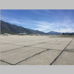
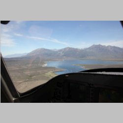
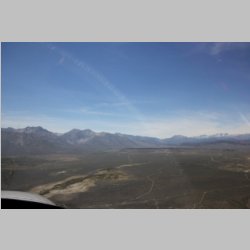
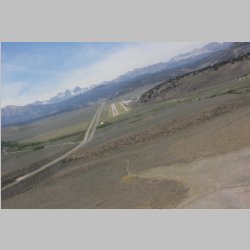
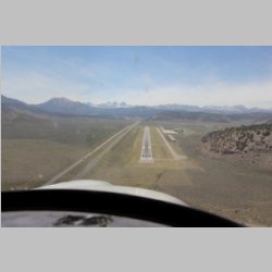
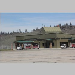
Mammoth (KMMH) is also a little over 7,000' of elevation,
and was another nice airport to fly into. I heard
Bishop, a little south, is far cheaper, but they don't
offer rental cars on weekends, so we had to go to
Mammoth. As it turned out though, I was very happy
with it. The FBO people were very nice, they got us
the info for getting a rental car, and we were on our
way! Mammoth has LOTS of campgrounds around, so we
weren't too concerned with getting a place to stay.
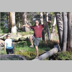
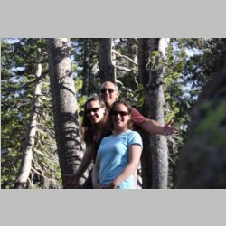
It wasn't too bad of a drive and we were all the way to
the Yosemite park entrance, where we heard camping was
full within the park, but only 1mile or less from the gate
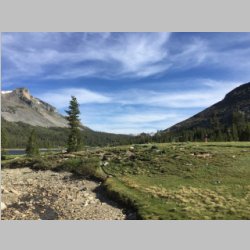
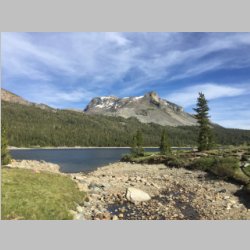
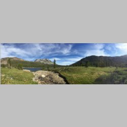
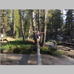
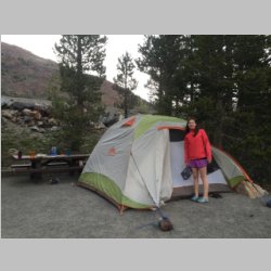
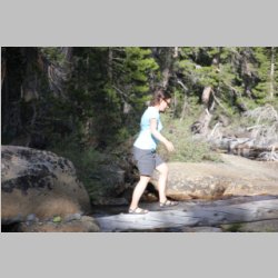
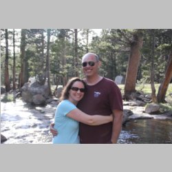
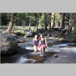
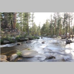
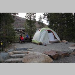
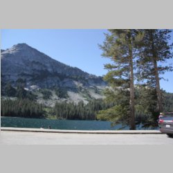
we found a state campground, at 9,760' of elevation.
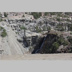
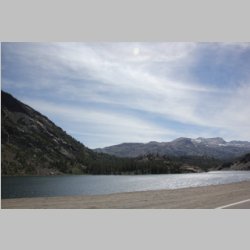
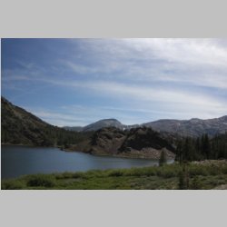
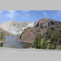
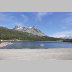
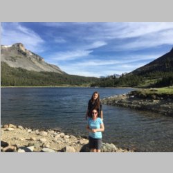
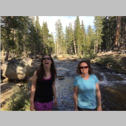
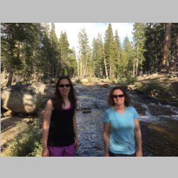
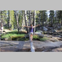
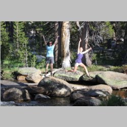
It was a beautiful setting, with a lake high in the
mountains. No facilities other than bathrooms and
hand-pump water, but it was plenty good for us. We
had food and supplies and didn't require much. The
temperatures at these altitudes was also PERFECT despite
being in the 90's and 100's in the low elevations around
the US. So with that, we started our 2nd overnight
stay for the trip.
|
 |
 |
 |
 |
 |
 |
 |
 |
 |
 |
 |
 |
 |
 |
 |
 |
 |
 |
 |
 |
 |
 |
 |
 |
 |
 |
 |
 |
 |
 |
 |
 |
 |
 |
 |
 |
 |
 |
 |
 |
 |
 |
 |
 |
 |
 |
 |
 |
 |
 |
 |
 |
 |
 |
 |
 |
 |
 |
 |
 |
 |
 |
 |
 |
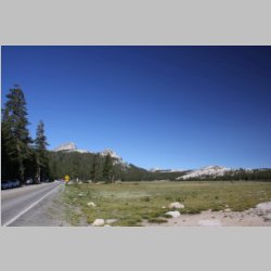
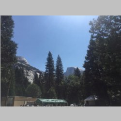
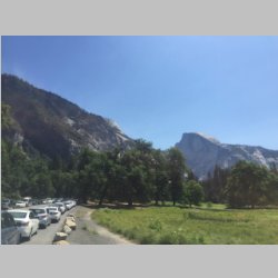
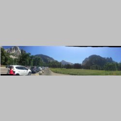
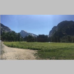
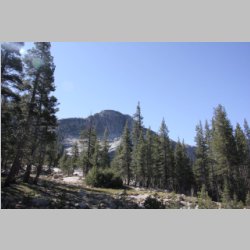
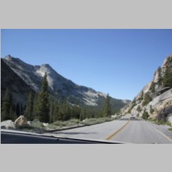
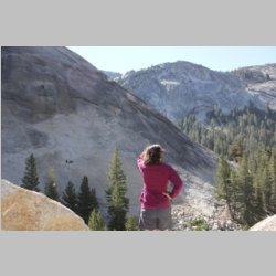
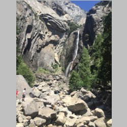
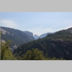
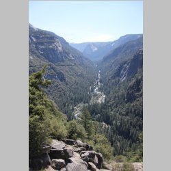
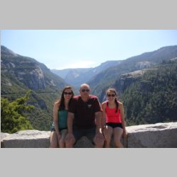
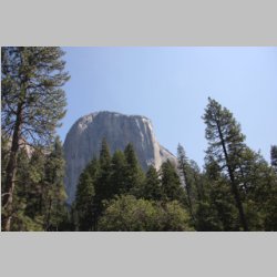
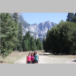
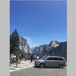
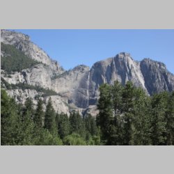
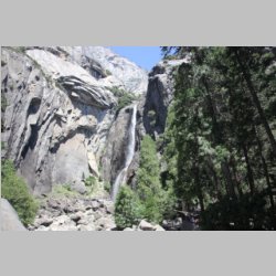
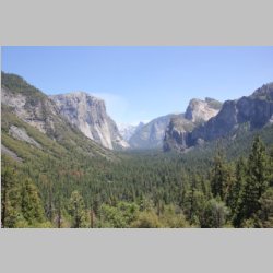
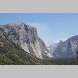
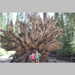
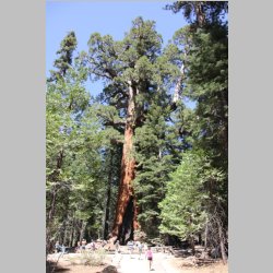
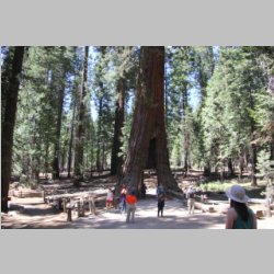
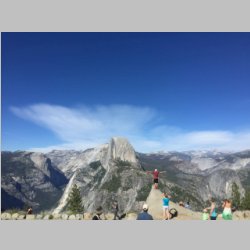
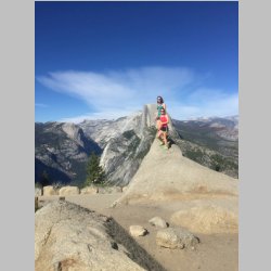
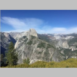
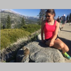
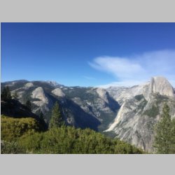
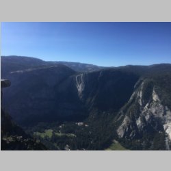
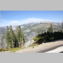
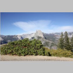
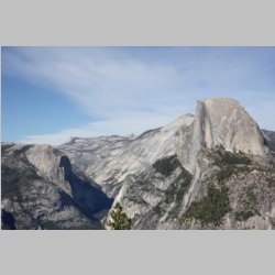
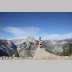
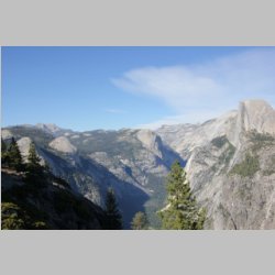
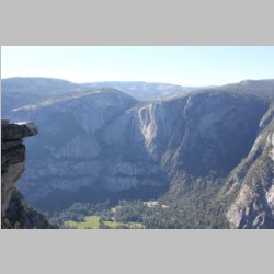
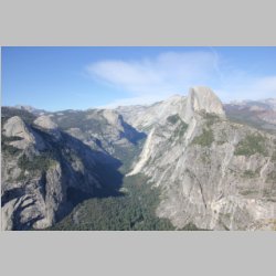
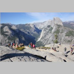
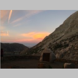
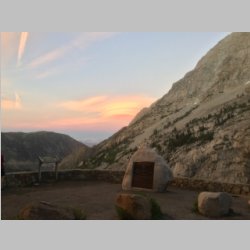
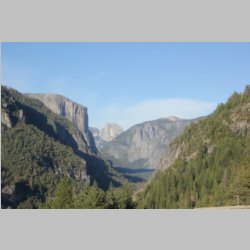
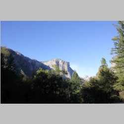
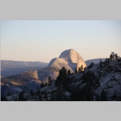
The next day we got up and
headed right into the park. I really wasn't sure
what I'd think of the park. On one hand I've been to
many mountains, and I've seen many valleys and just plain
been lots of places, and didn't know if this was "Just
another National Park", or something special. I'm
actually very proud of our country for one thing, and
that's the fact that we have National Parks with great
land set aside. There are so many things these days
I can't stand about our country, especially the way it's
run by a corrupt government, and now even my home state is
turning into a hot bed of corruption. But the
federal National Parks are the exception, and a National
treasure. John Muir was an early supporter of
Yosemite, and I quickly learned why he had a passion for
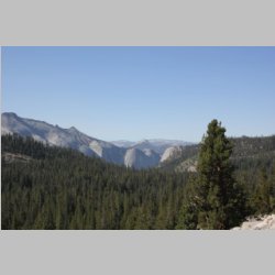
this place. It really isn't just another range of
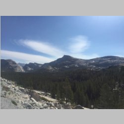
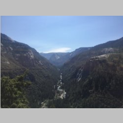
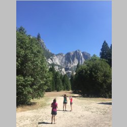
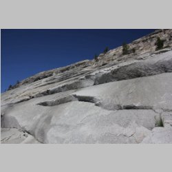
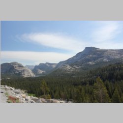
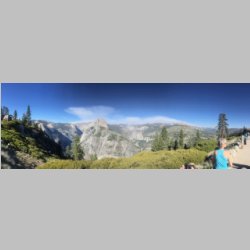
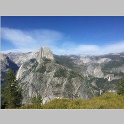
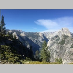
mountains or valley within them. There are granite
peaks unlike anyplace I've ever seen! It is
completely beautiful to drive through, and to hike around
in, and has a wide variety of types of terrain and land to
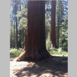
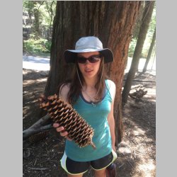
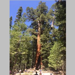
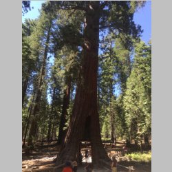
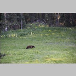
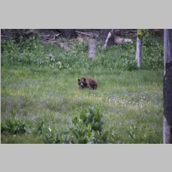
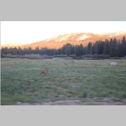
see within it. There are animals of all sorts
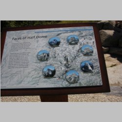
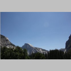
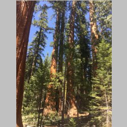
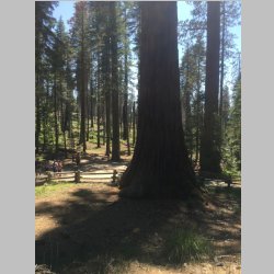
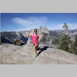
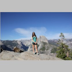
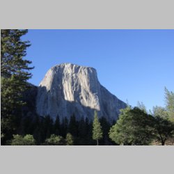
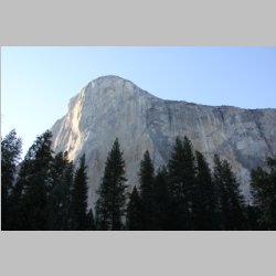
too. From the Granite face of Half Dome, to the
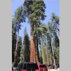
Mariposa Sequoia area, it is all just amazing. Well
worth the quick trip and now we'll have to go back and
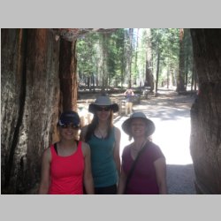
spend more time! We got a great taste of it though,
by being efficient with our time, and saw many of the most
major attractions.
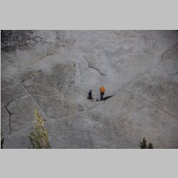
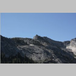
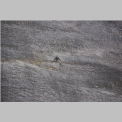
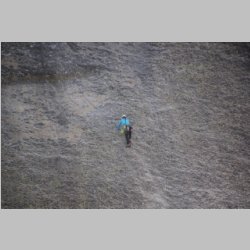
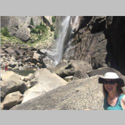
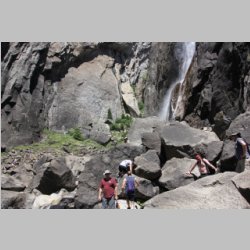
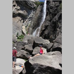
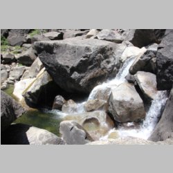
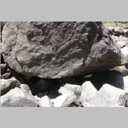
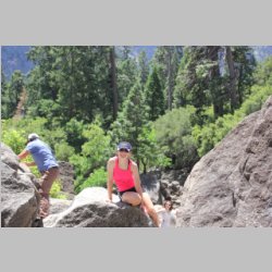
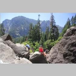
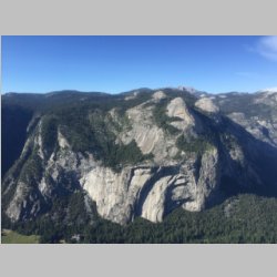
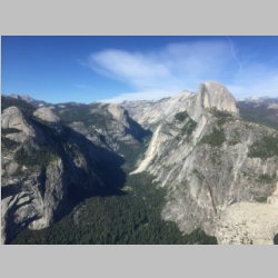
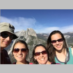
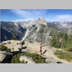
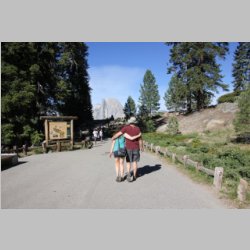
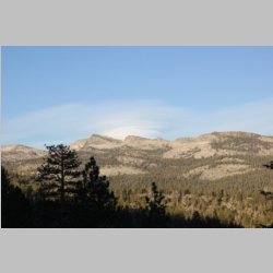
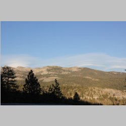
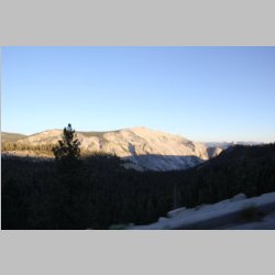
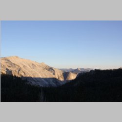
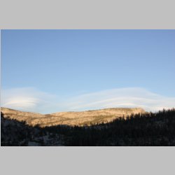
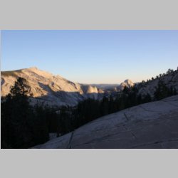
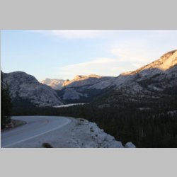
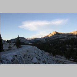
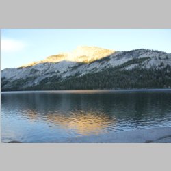
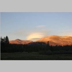
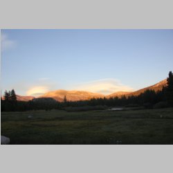
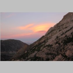
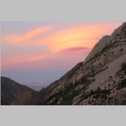
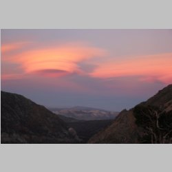
Take a look below as you scroll through the pictures. Late
in the day there were some lenticular clouds building over
the tops of a couple of the mountains. We watched
these for a long time, from many angles, and it was
amazing to see. After a full day in the park, we
headed back to Mammoth to camp for the night so that the
next day we could start making tracks Eastward, hoping to
cut our home leg travel day into two pieces by stopping at
Yellowstone Park.
|
 |
 |
 |
 |
 |
 |
 |
 |
 |
 |
 |
 |
 |
 |
 |
 |
 |
 |
 |
 |
 |
 |
 |
 |
 |
 |
 |
 |
 |
 |
 |
 |
 |
 |
 |
 |
 |
 |
 |
 |
 |
 |
 |
 |
 |
 |
 |
 |
 |
 |
 |
 |
 |
 |
 |
 |
 |
 |
 |
 |
 |
 |
 |
 |
 |
 |
 |
 |
 |
 |
 |
 |
 |
 |
 |
 |
 |
 |
 |
 |
 |
 |
 |
 |
 |
 |
 |
 |
 |
 |
 |
 |
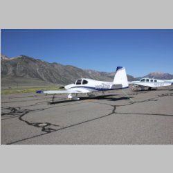
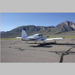
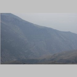
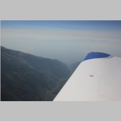
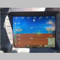
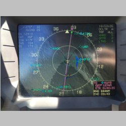
After we woke up, we headed
right for the FBO and dropped off our rental car and took
off. On the ground I was on the phone making rental
car arrangements at KWYS (West Yellowstone) and got a car
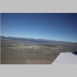
set up for that stay. Once we departed we headed
right for altitude, now being much more acclimated than
before, to keep us above the turbulence that would build
throughout the day. It was smooth much of the time except
when crossing mountain ridges. It's always hard for
me to know when it's going to be a pleasant or not
pleasant experience as you cross over mountains.
With winds just over 20kts I wasn't so sure how this would
go. In the end, we did get a couple of rough
patches, downwind of mountains, but it wasn't too bad
overall, and in a little over 3 hours we were landing in
West Yellowstone. KWYS has another real nice FBO
that I'd highly recommend.
|
 |
 |
 |
 |
 |
 |
 |
 |
 |
 |
 |
 |
 |
 |
 |
 |
 |
 |
 |
 |
 |
 |
 |
 |
 |
 |
 |
 |
 |
 |
 |
 |
 |
 |
 |
 |
 |
 |
 |
 |
 |
 |
 |
 |
 |
 |
 |
 |
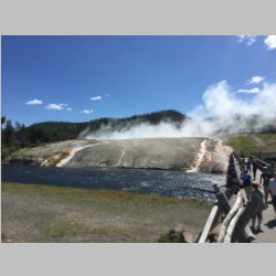
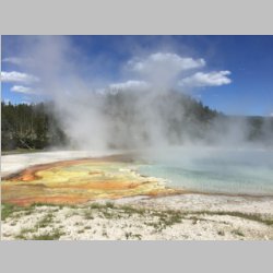
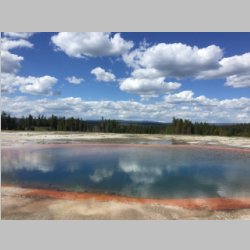
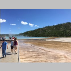
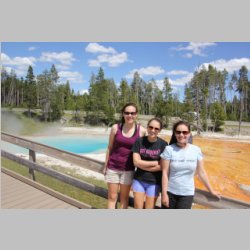
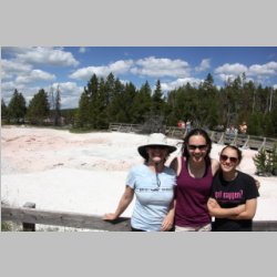
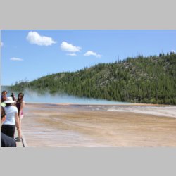
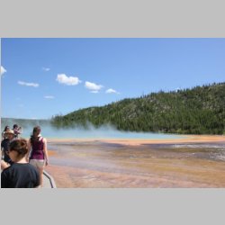
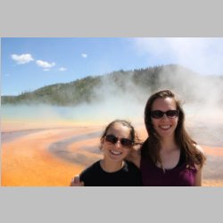
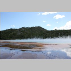
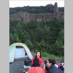
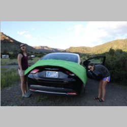
Arriving a little after lunchtime and staying the next day
until 2:00 or so, gave us a great opportunity to see the
highlights of Yellowstone. Yellowstone was one of
the very first places we had taken the kids with N104CD,
and so they had much fuzzier memories of this place.
As we went in the gate, I asked the lady, showing her my
Yosemite receipt, if the receipt was good for
anything. She explained that she could credit the
cost towards an annual National Park pass if I
wanted. I wish I'd have shown her our Bryce one too,
but I didn't have it handy. So we traded it in and
purchased an annual pass...so from here on out all
National Park entrance fees are paid through June
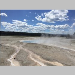
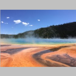
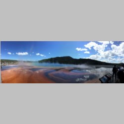
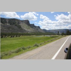
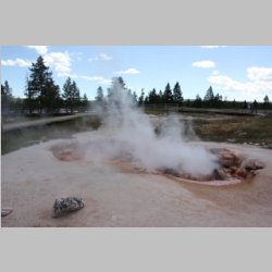
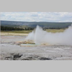
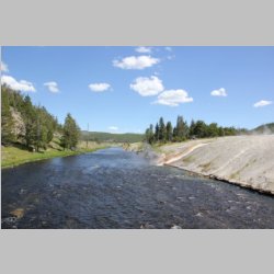
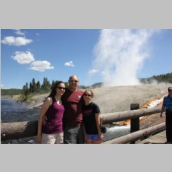
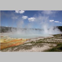
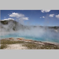
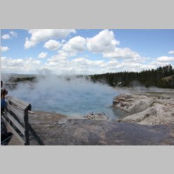
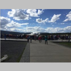
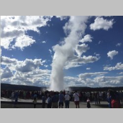
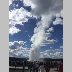
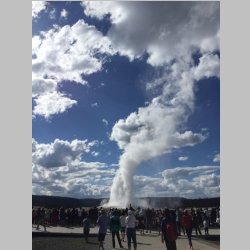
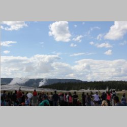
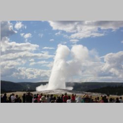
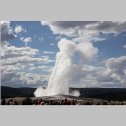
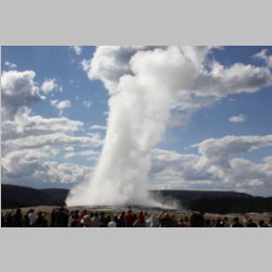
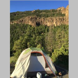
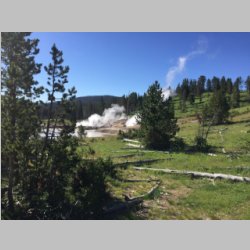
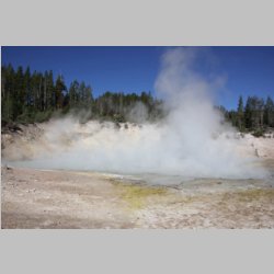
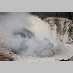
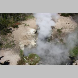
2016! We drove down the geyser and spring basin to
the south, stopping at many places including Old Faithful,
continued past Yellowstone lake, and then since the park
was full for camping, we headed out the East gate for some
more state campgrounds. Interestingly, the scenery
outside of the East gate rivals some of the scenery inside
the park! It was beautiful, and we once again stayed
at a campground with nothing but water and toilets.
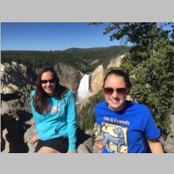
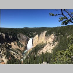
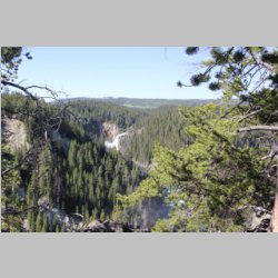
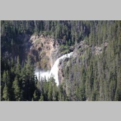
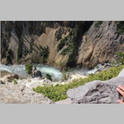
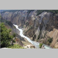
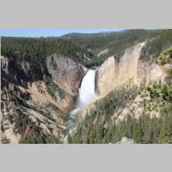
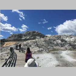
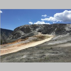
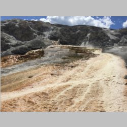
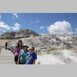
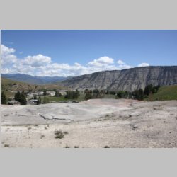
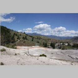
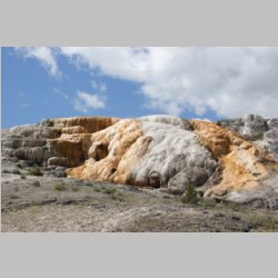
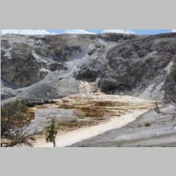
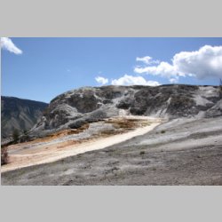
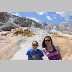
The next day we got up and headed West for a tour of
Yellowstone falls, and the terraced springs towards the
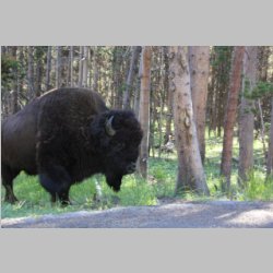
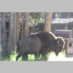
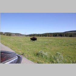
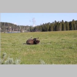
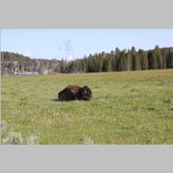
North. As we got further into the park, we ran
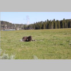
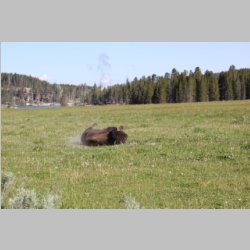
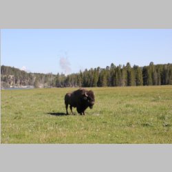
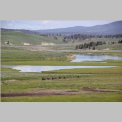
across a Buffalo right near some houses. It was really
cool to run into one so close and unexpected. With
lots of little side hiking stops, we took in as much as we
could before heading out.
|
 |
 |
 |
 |
 |
 |
 |
 |
 |
 |
 |
 |
 |
 |
 |
 |
 |
 |
 |
 |
 |
 |
 |
 |
 |
 |
 |
 |
 |
 |
 |
 |
 |
 |
 |
 |
 |
 |
 |
 |
 |
 |
 |
 |
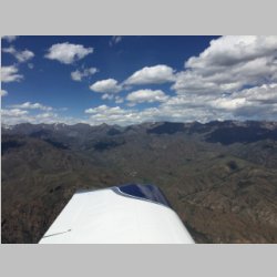
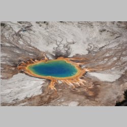
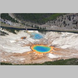
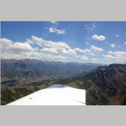
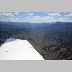
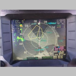
Time to depart after 2pm, we
knew we'd face some afternoon bumps if we were down low,
so we did a quick pass over the Grand Prismatic Spring in
Yellowtone, and Old Faithful, and then headed East through
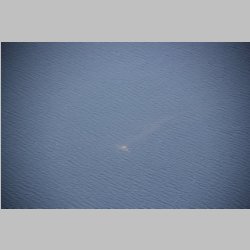
the mountains towards Cody. Flying over Yellowstone
lake, we spotted a bubbling hot spring right in the water
of the lake...and we often pondered exactly what would
happen if the giant Caldera supervolcano that is
Yellowstone happened to explode. It really is a cool
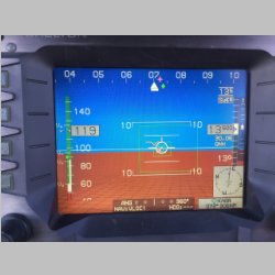
and amazing place. Getting higher once clear of the
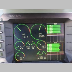
Rockies, we decided to keep climbing to 13,500 and hop
right over the mountain ridge West of Sheidan, WY, which
put us up above all of the turbulence and gave us a very
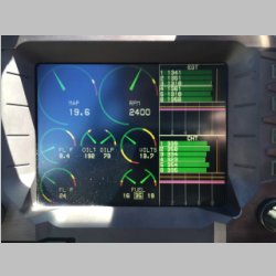
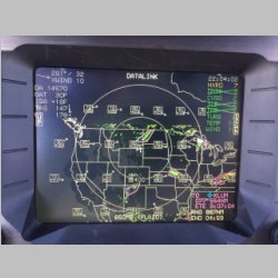
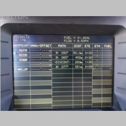
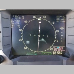
economical 8.5gph fuel burn and smooth ride. We had
intended to find a cheap gas stop somewhere along the way,
but with some of the S.D. gas prices not so low, and our
low fuel burn, we decided to just push on. The
flight was something over 825nm, and we had a little
tailwind helping, so we pressed on, knowing we'd land with
extra fuel. After 5.0 on the hobbs had passed, we
touched down at home with something like 14-16 gallons
remaining...enough to get us another 200-300nm if need
be! It was a great ending to a great trip!
|
 |
 |
 |
|


