Alaska 2012 - Day 1
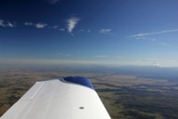
Starting out, we had to get off the ground early in the day due to one of our summertime thunderstorms headed our way that would leave us stuck for a while if we didn't go. The WX wasn't perfect for the first leg, showing some overcast skies in the area of the storm, but the satellite imagery showed we could make it all the way to clear skies by the time we needed to land, so we launched VFR to make for a relaxing trip.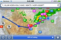
|
|
|
|
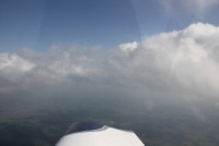
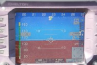
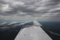
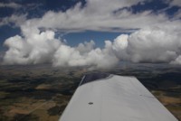
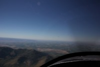
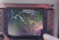
We climed through some big holes and soon were zipping across the skies at 12,500' as it became undercast below. We navigated around the biggest tops and the area of the storm and sometime over South Dakota or Nebraska we were in the clear. With some rain over the mountains in Idaho, we elected to take a more southern route and fly over I-80 to the KSLC area and then up. This would also allow us to keep our altitudes a little lower than some other routes. |
|||
 |
 |
 |
 |
 |
 |
 |
 |
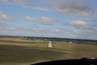
As we flew to our intended stops, we caught a good fuel price on the iPad and decided to drop in on KVTN, Valentine, NE, for some fuel. Andrea took this leg of flying and had us down smooth and back up in the air for our next leg in no time. |
|||
 |
 |
 |
 |
 |
 |
 |
 |
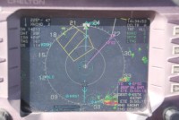
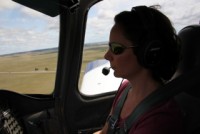
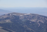
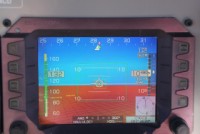
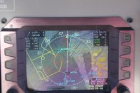
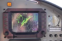
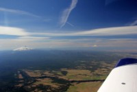
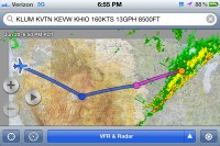
We got into the higher ground but stayed at 10,500' hoping to avoid the bumps...we were unsuccessful, being tossed around a bit...unusual for traveling in the RV-10 where we can climb and get out of it, but we wanted to stay at 10,500' if possible. A check of the WSI showed that our home area was getting hit by the storms, and we were glad to be gone. |
|||
 |
 |
 |
 |
 |
 |
 |
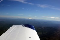 |
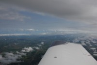
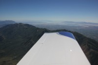
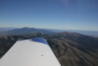
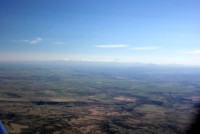
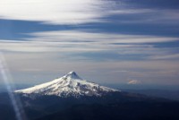
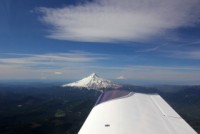
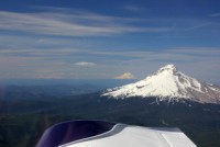
Our 2nd gas stop was in KEVW, where Scott and Sean had told me was normally a good fuel price. There was also cheaper fuel nearby but we were hoping for a bite to eat so stuck with the larger of the 2 airports. Then soon enough we started to see the mountains of Oregon coming into view. It's awesome flying into Oregon, because you know when you're getting close. We always end up flying right by Mt. Hood, which is great to see, and off in the distance you can see some of the other mountains such as the Three Sisters, Mt. Bachelor and Mt. Jefferson to the South, then Mt. Adams, St. Helens, and Mt. Ranier to the North. It was pretty spectacular on the way in and we could see them all with the exeption of Ranier that perhaps we could see, but it was far enough away I didn't notice if we saw it or not. |
|||
 |
 |
 |
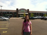 |
So it was a great flying day, with a bit over 10 hours in for the trip, due to our reroute. We later found ourselves at Walmart, which as the kids say "it isn't a vacation unless we go to Walmart" because we seem to alwasy forget or need something that they have. The next day we spent our time flying over to Garmin a couple of times to get Ed's radio fixed, and get some shopping done. 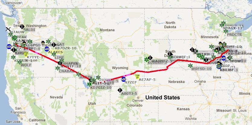 |
|||